Elevation and Land Cover in Antarctica
Project Description:
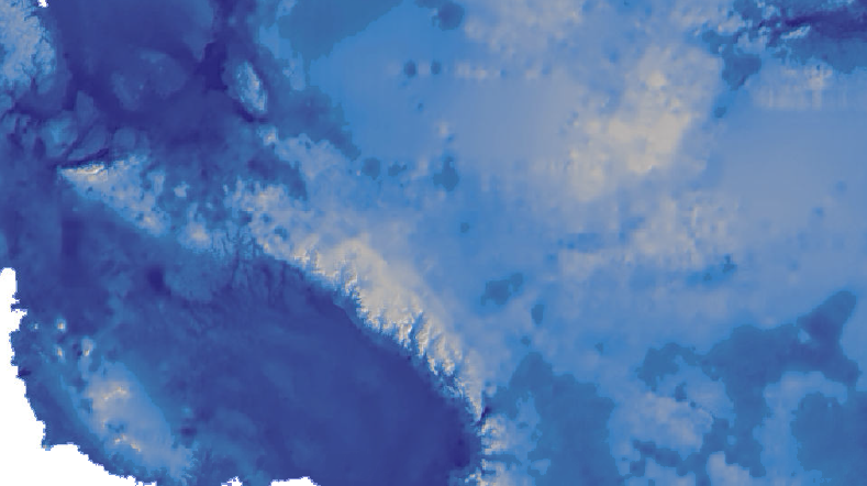
This is a series of maps created to highlight the effect of sea levels change in and around Antarctica due to melting of polar and global ice. Included is an isostatic elevation model. These maps were created using raster calculator in ArcMap and other spatial statistics tools. Though the last two maps may look very similar there is more land lost from total global ice melt and could potentially be detrimental for habitats around Antarctica.
Tools used:
- Raster Calculator
- Zonal Statistics
- Hillshade
- Map Algebra
- Digital Elevation Models