Previous Projects
Total Polar Ice Melt, Land Cover Antarctica

This series of maps explores the possibility of total polar and global ice melt, and shows how each of these conditions would affect Antarcticas land cover. There are also references for current conditions, of general elevation and bedrock elevation. As the climate continues to change melting of permafrost is a key factor to analyze.
Snurtle Habitat Range, Utah, USA
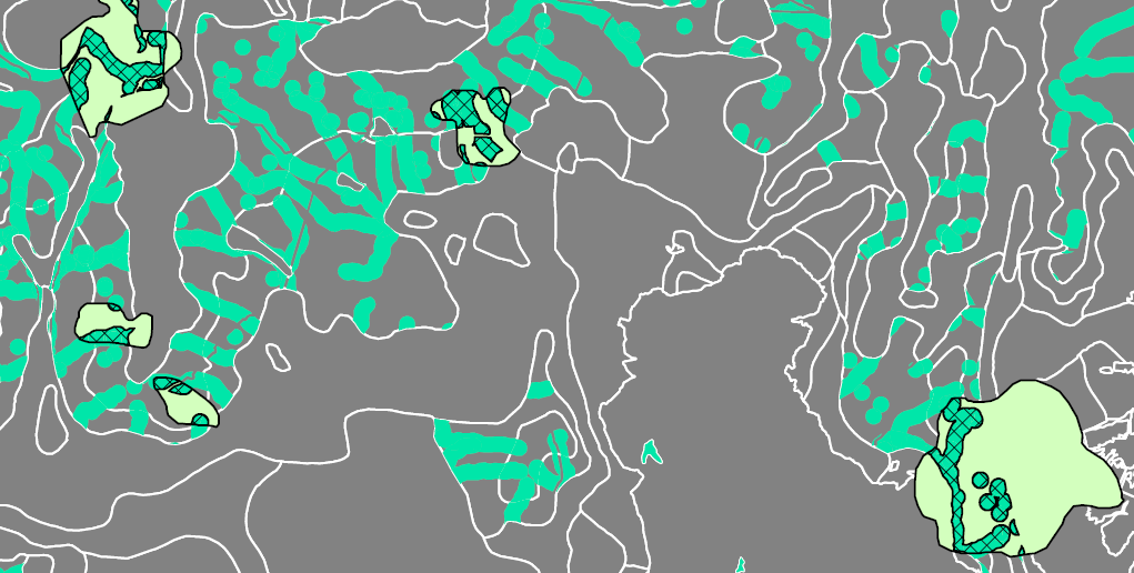
This map was comprised from an exercise using a model builder in ArcMap. The data and guidelines of habitat and potential habitat intersection were provided regarding these fictional creatures. These same techniques could be employed for a number of different real life scenarios.